Devil's Backbone Trail was added to Your Favorites!
Mount Baldy, California
Claim this place to tell your story your way.
The trail is located within the San Gabriel Mountains National Monument, which spans over 346,000 acres and offers diverse ecosystems and wildlife.
The trail reaches an elevation of approximately 9,406 feet at its highest point, offering breathtaking views of the surrounding landscape.
The trail itself is about 3.3 miles long, connecting the Baldy Notch to the summit of Mount Baldy, the highest peak in Los Angeles County.
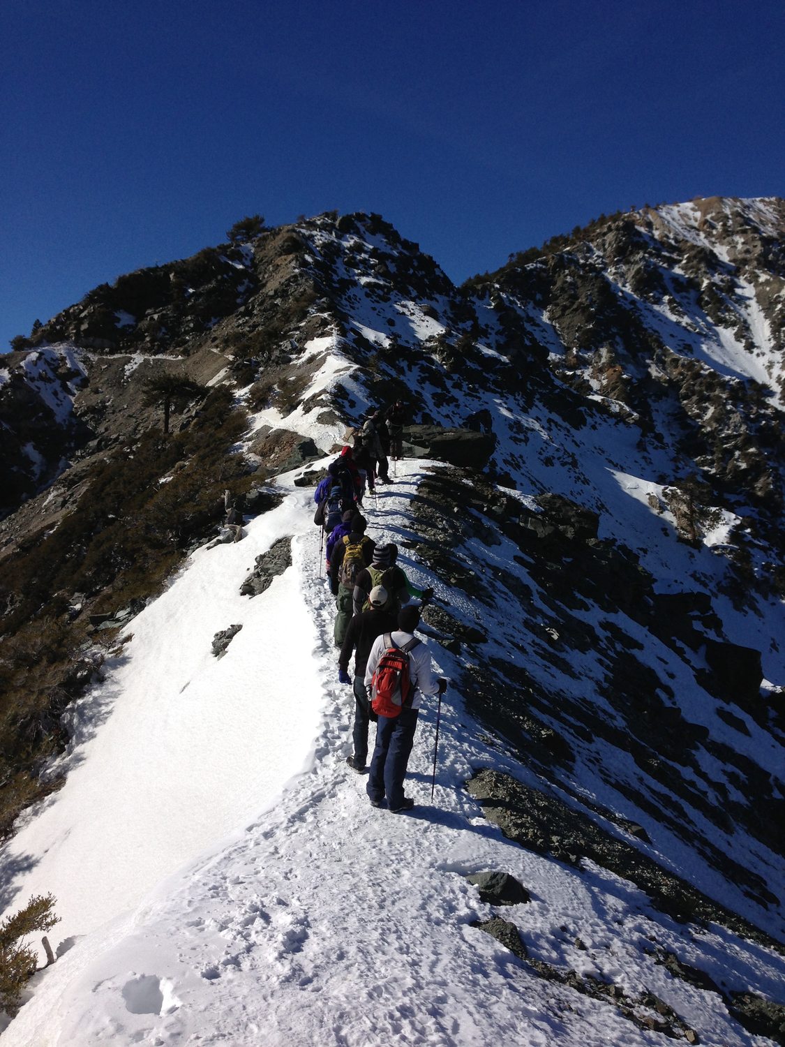
The name 'Devil's Backbone' refers to the narrow, rugged ridge that the trail follows, which can be challenging and requires careful navigation.
The Devil's Backbone Trail is a favorite among experienced hikers due to its challenging terrain and stunning panoramic views.
The trail is most popular in late spring through early fall when the weather is mild and the trail is free of snow.
The Devil's Backbone Trail is a segment of the Mount Baldy Loop, a popular 11-mile circuit that offers a comprehensive hiking experience.


